Hurricane Rafael
Nov 3, 2024 to Nov 10, 2024Peak 121 mph954 mb
Hurricane Rafael came within 100 miles of 1 U.S. county without passing within 50.
- Major hurricane
- Hurricane
- Tropical storm
- Post-tropical
Hurricane Rafael · 2024
How it happened
Follow the storm’s path, strength and milestones.
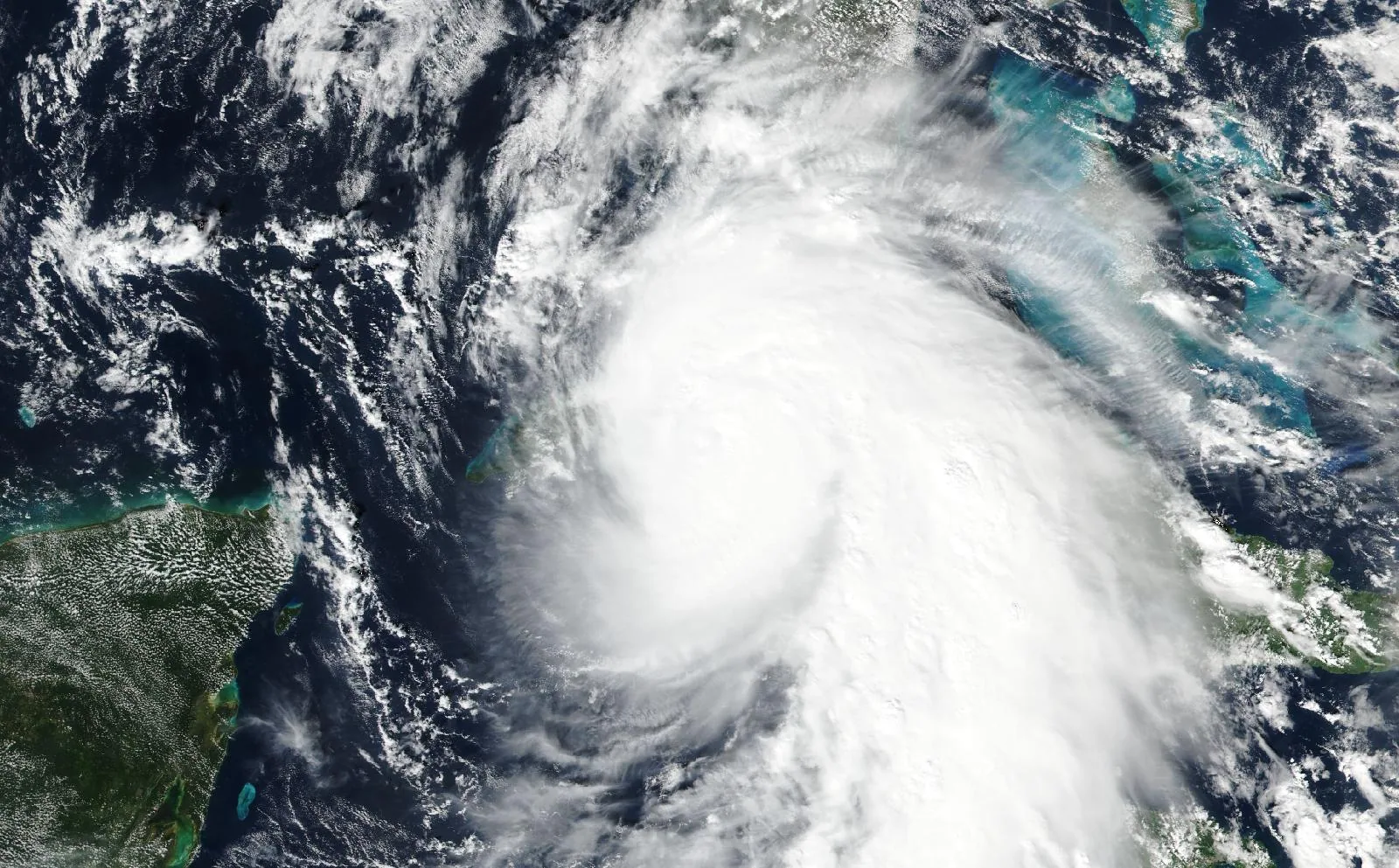
From space
Hurricane Rafael on November 6, 2024, about 9 hours before its closest pass to Monroe County, FL.
The storm
- Peak strength
- Category 3
- 121 mph, 105 kt
- Lowest pressure
- 954 mb
- Over the whole track
- Counties within 50 miles
- 0
- None
- Counties within 100 miles
- 1
- FL
- Landfalls recorded
- 1
- Anywhere on the track
Every county it passed
Closest approach to each county boundary, with the storm’s strength at that moment.
| Monroe County | FL | 91.7 | Category 2 |
Distances are measured from hourly positions interpolated between the National Hurricane Center’s six-hourly fixes to each county boundary. Strength is shown only where the storm was still tropical. Methodology.
National Hurricane Center HURDAT2. Storm totals cover the Atlantic and Northeast and Central Pacific basins.