Gap/Rough Creek Fire
199953,682 acresMontana and North Dakota
The Gap/Rough Creek Fire burned 53,682 acres, about 84 square miles, across 2 counties. It began on October 31, 1999.
Watch how it happenedGap/Rough Creek Fire · 1999
How it happened
See how severely each place burned, revealed outward from where it started.
How severely it burned
Burn severity inside the final perimeter, classified from Landsat images taken before and after the fire.
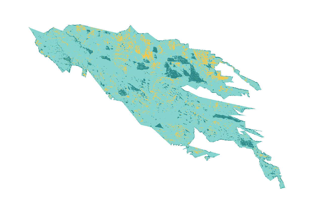
| Severity | Share | Acres |
|---|---|---|
| Moderatemixed: many trees killed, some survive | 8.3% | 4,475 |
| Lowsurface fire, most trees survive | 82% | 44,001 |
| Unburned to lowislands inside the perimeter, little change | 9.6% | 5,162 |
| Increased greennessvegetation greener after the fire than before | 0.1% | 44 |
No part of the fire was classed as high severity; 8% burned at moderate severity.
Monitoring Trends in Burn Severity (U.S. Geological Survey and USDA Forest Service). Classes come from the change in a Landsat burn index (dNBR) between images before and after the fire; acres are each class’s share of the fire’s mapped area.
Where it burned
Acres inside each county, measured from the satellite-mapped perimeter.
| McKenzie County | ND | 53,249 |
| Richland County | MT | 458 |
Other large fires in Montana and North Dakota in 1999
- Fishel Creek Fire28,621 acres
Monitoring Trends in Burn Severity (USGS and U.S. Forest Service). Type recorded: Wildfire.