Mississippi Fire
201359,146 acresAlaska
The Mississippi Fire burned 59,146 acres, about 92 square miles, across Southeast Fairbanks Census Area. It began on May 30, 2013.
Watch how it happenedMississippi Fire · 2013
How it happened
Watch it burn in the order satellites saw it, coloured by how severely each place burned.
How severely it burned
Burn severity inside the final perimeter, classified from Landsat images taken before and after the fire.
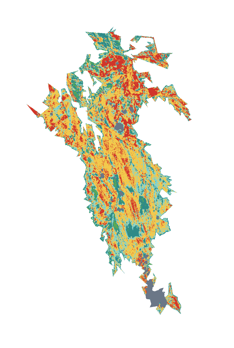
| Severity | Share | Acres |
|---|---|---|
| Highmost vegetation consumed, soils altered | 18% | 10,559 |
| Moderatemixed: many trees killed, some survive | 42% | 25,029 |
| Lowsurface fire, most trees survive | 19% | 11,412 |
| Unburned to lowislands inside the perimeter, little change | 15% | 8,764 |
| Increased greennessvegetation greener after the fire than before | 1.7% | 1,026 |
| Not mappedcloud, shadow or water in the satellite images | 4.0% | 2,357 |
18% of the area inside the perimeter burned at high severity, about 10,559 acres; 60% burned at moderate or high severity.
Monitoring Trends in Burn Severity (U.S. Geological Survey and USDA Forest Service). Classes come from the change in a Landsat burn index (dNBR) between images before and after the fire; acres are each class’s share of the fire’s mapped area.
Where it burned
Acres inside each county, measured from the satellite-mapped perimeter.
| Southeast Fairbanks Census Area | AK | 59,188 |
Other large fires in Alaska in 2013
- Lime Hills Fire193,970 acres
- Moore Creek Fire135,698 acres
- Stuart Creek #2 Fire87,915 acres
- Beaver Log Lakes Fire62,194 acres
- Prospect Creek Fire61,812 acres
- Sandless Lake Fire56,921 acres
- Sulatna River Fire44,396 acres
- Chisana River Fire44,365 acres
Monitoring Trends in Burn Severity (USGS and U.S. Forest Service). Type recorded: Wildfire.