Goldwater Fire
200556,707 acresArizona
The Goldwater Fire burned 56,707 acres, about 89 square miles, across Maricopa County. It began on June 17, 2005.
Watch how it happenedGoldwater Fire · 2005
How it happened
Watch it burn in the order satellites saw it, coloured by how severely each place burned.
How severely it burned
Burn severity inside the final perimeter, classified from Landsat images taken before and after the fire.
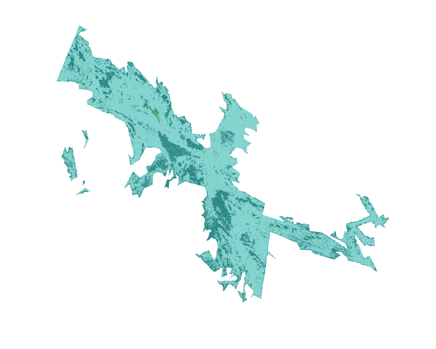
| Severity | Share | Acres |
|---|---|---|
| Lowsurface fire, most trees survive | 74% | 41,772 |
| Unburned to lowislands inside the perimeter, little change | 26% | 14,842 |
| Increased greennessvegetation greener after the fire than before | 0.1% | 81 |
Most of the area inside the perimeter burned at low severity or not at all.
Monitoring Trends in Burn Severity (U.S. Geological Survey and USDA Forest Service). Classes come from the change in a Landsat burn index (dNBR) between images before and after the fire; acres are each class’s share of the fire’s mapped area.
Where it burned
Acres inside each county, measured from the satellite-mapped perimeter.
| Maricopa County | AZ | 56,707 |
Other large fires in Arizona in 2005
- Cave Creek Complex245,997 acres
- Edge Complex69,237 acres
- Cow Fire44,495 acres
- Tweedy Point Fire36,146 acres
- King Valley Fire33,013 acres
- Mt Bangs Complex29,640 acres
- Growler Peak Fire28,189 acres
Monitoring Trends in Burn Severity (USGS and U.S. Forest Service). Type recorded: Wildfire.